Welcome to Sam Mallard's GIS Portfolio
Sam Mallard is a Bachelor of Science in Geographical Information Systems graduate with a focus on GIS, Remote Sensing, and geospatial analysis. A hard-working and dedicated employee, Sam Mallard is qualified in many GIS software and various coding languages, putting passion and determination into every project given.
Skills & Tools

GIS & Cartography
ArcGIS Pro, QGIS, map design, geodatabase management

Remote Sensing & Imagery
ERDAS Imagine, Google Earth Engine, land cover classification.

Programming & Data Analysis
Python, R, JavaScript, and geospatial modeling.
Environmental & Geospatial Applications
Watershed mapping, flood risk analysis, and environmental monitoring
About me
My name is Sam Mallard, a recent Bachelor of Science in Geographic Information Systems graduate from the University of North Alabama with a focus on geospatial technologies, along with other skills. My expertise spans ArcGIS Pro, ArcGIS Online, QGIS, ERDAS Imagine, Python, R, and JavaScript, which I use to analyze spatial data, create interactive maps, among many other things.
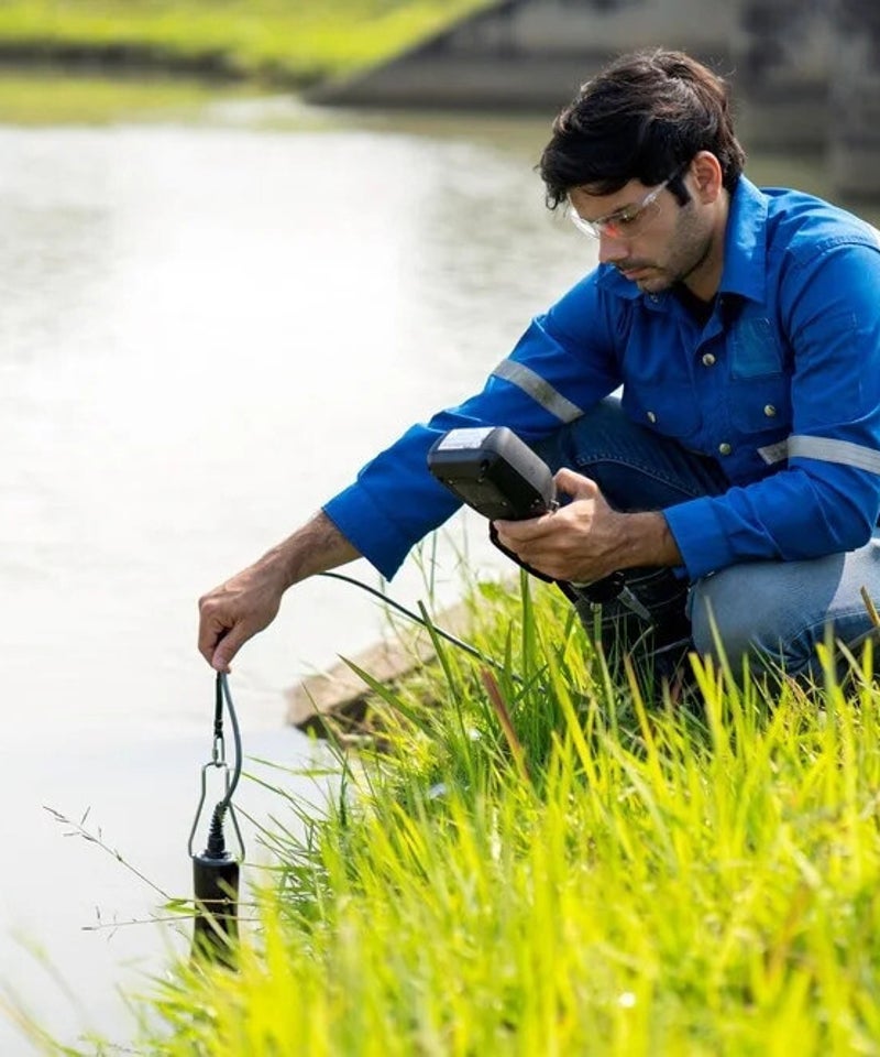
My academic and internship experience has focused on environmental applications of GIS, including flood risk mapping, watershed mapping, and water quality monitoring. I have also worked with remote sensing and land use change detection, applying advanced geospatial tools to understand and visualize how landscapes may evolve over time.
I am passionate about using geospatial technologies to solve real-world problems. My goal is to apply my skills in a professional setting where I can contribute to projects that make a meaningful impact on communities and natural systems.
Create Your Own Website With Webador